Adabroc
| Adabrock | |
| Scottish Gaelic: Adabroc | |
.jpg) Scattered habitation at Adabrock |
|
 Adabrock |
|
| Language | Scottish Gaelic |
|---|---|
| English | |
| OS grid reference | NB530627 |
| Civil parish | Barvas |
| Council area | Na h-Eileanan Siar |
| Lieutenancy area | Western Isles |
| Country | Scotland |
| Sovereign state | United Kingdom |
| Post town | ISLE OF LEWIS |
| Postcode district | HS2 |
| Dialling code | 01851 |
| Police | Scottish |
| Fire | Scottish |
| Ambulance | Scottish |
| EU Parliament | Scotland |
| UK Parliament | Na h-Eileanan an Iar |
| Scottish Parliament | Na h-Eileanan an Iar |
Coordinates: 58°28′59″N 6°14′13″W / 58.483°N 6.237°W
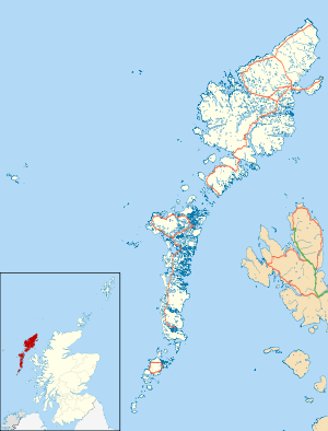
Adabrock[1] (Scottish Gaelic: Adabroc), is a village in the area of Ness, Lewis, in the Outer Hebrides, Scotland. Adabrock is within the parish of Barvas,[1] and is situated on the B8015 between Lionel and Eorodale.[2] It is at the northern tip of Lewis, south-west of Port of Ness.
Bronze Age tools and weapons have been discovered at Adabroc.[3]
References
- 1 2 "Details of Adabrock". Scottish Places. Retrieved 29 December 2014.
- ↑ "B8015". Sabre. Retrieved 29 December 2014.
- ↑ Armit, Ian (1996). The Archaeology of Skye and the Western Isles. Edinburgh University Press. p. 101.
External links
| Wikimedia Commons has media related to Adabroc. |
- Canmore - Lewis, Adabrock site record
- Canmore - Lewis, Eorodale, Chain Home Low Radar Station site record
| Inhabited islands | ||
|---|---|---|
| Other islands | ||
| Settlements |
| |
| Districts | ||
| Geographical features | ||
| Historical sites | ||
This article is issued from Wikipedia - version of the 11/2/2016. The text is available under the Creative Commons Attribution/Share Alike but additional terms may apply for the media files.