Ambodimangavalo
| Ambodimangavalo | |
|---|---|
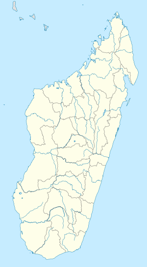 Ambodimangavalo Location in Madagascar | |
| Coordinates: 17°31′S 48°57′E / 17.517°S 48.950°E | |
| Country |
|
| Region | Analanjirofo |
| District | Vavatenina |
| Elevation[1] | 549 m (1,801 ft) |
| Population (2001)[2] | |
| • Total | 11,000 |
| Time zone | EAT (UTC3) |
Ambodimangavalo is a town and commune (Malagasy: kaominina) in Madagascar. It belongs to the district of Vavatenina, which is a part of the Analanjirofo Region. The population of the commune was estimated to be approximately 11,000 in the 2001 census.[2]
Only primary schooling is available. The vast majority (98%) of the commune's population are farmers. The most important crops are coffee and cloves. Rice is also an important agricultural product. The service sector provides employment for 2% of the population.[2]
References and notes
- ↑ Estimated based on DEM data from Shuttle Radar Topography Mission
- 1 2 3 "ILO census data". Cornell University. 2002. Retrieved 2008-03-08.
| Fenerive Est |  | |
|---|---|---|
| Mananara Nord | ||
| Maroantsetra | ||
| Sainte Marie | ||
| Soanierana Ivongo | ||
| Vavatenina | ||
Coordinates: 17°31′S 48°57′E / 17.517°S 48.950°E
This article is issued from Wikipedia - version of the 12/30/2013. The text is available under the Creative Commons Attribution/Share Alike but additional terms may apply for the media files.