Csabrendek
| Csabrendek | ||
|---|---|---|
 | ||
| ||
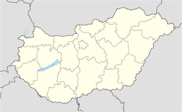 Csabrendek Location of Csabrendek | ||
| Coordinates: 47°00′49″N 17°17′36″E / 47.01367°N 17.29322°ECoordinates: 47°00′49″N 17°17′36″E / 47.01367°N 17.29322°E | ||
| Country |
| |
| County | Veszprém | |
| Government | ||
| • Mayor | Turcsi József[1] | |
| Area | ||
| • Total | 44.94 km2 (17.35 sq mi) | |
| Population (2011) | ||
| • Total | 2,973[2] | |
| • Density | 66.15/km2 (171.3/sq mi) | |
| Time zone | CET (UTC+1) | |
| • Summer (DST) | CEST (UTC+2) | |
| Postal code | 8474 | |
| Area code(s) | 87 | |
| Website | http://www.csabrendek.hu/ | |

Csabrendek is a village in Veszprém county, Hungary.
External links
References
- ↑ "Results of local elections 2010" (in Hungarian). National Office of Elections. 2010-10-03. Retrieved 2012-02-08.
- ↑ "Gazetteer of the Republic of Hungary" (XLS) (in Hungarian). Hungarian Central Statistical Office. 2011-01-01. Retrieved 2012-02-08.
This article is issued from Wikipedia - version of the 2/6/2014. The text is available under the Creative Commons Attribution/Share Alike but additional terms may apply for the media files.