Ipolydamásd
| Ipolydamásd | ||
|---|---|---|
| ||
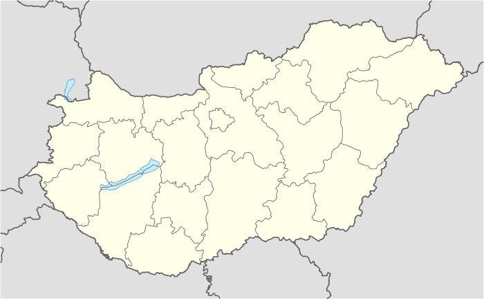 Ipolydamásd Location of Ipolydamásd in Hungary | ||
| Coordinates: 47°50′17″N 18°49′49″E / 47.83795°N 18.83037°E | ||
| Country | Hungary | |
| Region | Central Hungary | |
| County | Pest | |
| Subregion | Szobi | |
| Rank | Village | |
| KSH code | 28097[1] | |
| Government | ||
| • Mayor | Rományik Ferenc | |
| Area[2] | ||
| • Total | 11.60 km2 (4.48 sq mi) | |
| Population (1 January 2008)[3] | ||
| • Total | 353 | |
| • Density | 30/km2 (79/sq mi) | |
| Time zone | CET (UTC+1) | |
| • Summer (DST) | CEST (UTC+2) | |
| Postal code | 2631 | |
| Area code | +36 27 | |
| Website | www.ipolydamasd.hu | |

Ipolydamásd is a village in Pest county, Hungary.
References
- ↑ Ipolydamásd at the Hungarian Central Statistical Office (Hungarian).
- ↑ Ipolydamásd at the Hungarian Central Statistical Office (Hungarian).
- ↑ Ipolydamásd at the Hungarian Central Statistical Office (Hungarian). 1 January 2008
Coordinates: 47°51′N 18°50′E / 47.850°N 18.833°E
This article is issued from Wikipedia - version of the 12/27/2015. The text is available under the Creative Commons Attribution/Share Alike but additional terms may apply for the media files.