Jach'a Apachita (La Paz)
For the mountain in the Oruro Department, Bolivia, see Jach'a Apachita.
| Jach'a Apachita | |
|---|---|
 Jach'a Apachita Location within Bolivia | |
| Highest point | |
| Elevation | 4,420 m (14,500 ft) [1] |
| Coordinates | 15°45′11″S 68°27′31″W / 15.75306°S 68.45861°WCoordinates: 15°45′11″S 68°27′31″W / 15.75306°S 68.45861°W |
| Geography | |
| Location |
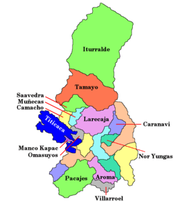
Bolivia, La Paz Department, Larecaja Province |
| Parent range | Andes |
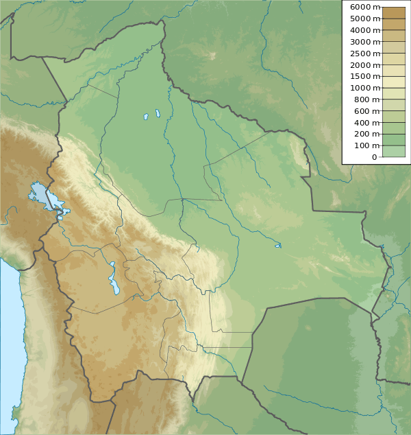
Jach'a Apachita (Aymara jach'a big, apachita the place of transit of an important pass in the principal routes of the Andes; name in the Andes for a stone cairn, a little pile of rocks built along the trail in the high mountains,[2][3][4] also spelled Jacha Apacheta) is a mountain in the Andes of Bolivia, about 4,420 metres (14,501 ft) high. It is situated in the La Paz Department, Larecaja Province, Sorata Municipality. Jach'a Apachita lies northeast of the Janq'u Uma-Illampu massif of the Cordillera Real.[1][5][6]
References
- 1 2 Cordillera Real Nord (Illampu) - Bolivien - 1:50 000 Deutscher Alpenverein 1987
- ↑ Radio San Gabriel, "Instituto Radiofonico de Promoción Aymara" (IRPA) 1993, Republicado por Instituto de las Lenguas y Literaturas Andinas-Amazónicas (ILLLA-A) 2011, Transcripción del Vocabulario de la Lengua Aymara, P. Ludovico Bertonio 1612 (Spanish-Aymara-Aymara-Spanish dictionary)
- ↑ http://www.illa-a.org/cd/diccionarios/DicAymaraMinEduPeru.odt (Aymara-Spanish dictionary)
- ↑ Teofilo Laime Ajacopa, Diccionario Bilingüe Iskay simipi yuyayk'ancha, La Paz, 2007 (Quechua-Spanish dictionary)
- ↑ Bolivian IGM map 1:250,000 Caranavi SD-19-15
- ↑ "Sorata". INE, Bolivia. Archived from the original on October 6, 2014. Retrieved November 30, 2014. (unnamed)
This article is issued from Wikipedia - version of the 7/21/2016. The text is available under the Creative Commons Attribution/Share Alike but additional terms may apply for the media files.