Lapid
| Lapid לַפִּיד | |
|---|---|
 Lapid | |
| Coordinates: 31°54′59.39″N 35°1′59.15″E / 31.9164972°N 35.0330972°ECoordinates: 31°54′59.39″N 35°1′59.15″E / 31.9164972°N 35.0330972°E | |
| District | Central |
| Council | Hevel Modi'in |
| Founded | 1996 |
| Population (2015)[1] | 2,551 |
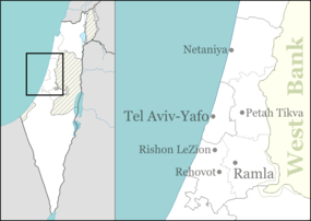
Lapid (Hebrew: לַפִּיד, lit. Torch) is an Israeli communal settlement. Located near Modi'in, it falls under the jurisdiction of Hevel Modi'in Regional Council. In 2015 it had a population of 2,551.
History
Lapid was established in 1996. It was built on a strip of land designated no man's land inside the Green Line. Before 1967, this territory did not belong to either Jordan or Israel.[2]
References
- ↑ "List of localities, in Alphabetical order" (PDF). Israel Central Bureau of Statistics. Retrieved 16 October 2016.
- ↑ Case Study: The Modi'in Illit Bloc
External links
- Lapid website (Hebrew)

View of Lapid and Kfar HaOranim
This article is issued from Wikipedia - version of the 9/9/2016. The text is available under the Creative Commons Attribution/Share Alike but additional terms may apply for the media files.