Rád
| Rád | ||
|---|---|---|
| ||
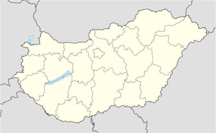 Rád Location of Rád in Hungary | ||
| Coordinates: 47°47′42″N 19°13′14″E / 47.79499°N 19.22054°E | ||
| Country | Hungary | |
| Region | Central Hungary | |
| County | Pest | |
| Subregion | Váci | |
| Rank | Village | |
| KSH code | 02370[1] | |
| Government | ||
| • Mayor | Lieszkovszki Gábor | |
| Area[2] | ||
| • Total | 17.73 km2 (6.85 sq mi) | |
| Population (1 January 2008)[3] | ||
| • Total | 1,840 | |
| • Density | 100/km2 (270/sq mi) | |
| Time zone | CET (UTC+1) | |
| • Summer (DST) | CEST (UTC+2) | |
| Postal code | 2613 | |
| Area code | +36 27 | |
| Website | www.rad.hu | |

Rád is a village in Pest county, Hungary.
References
- ↑ Rád at the Hungarian Central Statistical Office (Hungarian).
- ↑ Rád at the Hungarian Central Statistical Office (Hungarian).
- ↑ Rád at the Hungarian Central Statistical Office (Hungarian). 1 January 2008
Coordinates: 47°48′N 19°14′E / 47.800°N 19.233°E
This article is issued from Wikipedia - version of the 3/19/2013. The text is available under the Creative Commons Attribution/Share Alike but additional terms may apply for the media files.