Wila Quta (Larecaja)
This article is about the mountain in the Larecaja Province, La Paz Department, Bolivia. For other uses, see Wila Quta.
| Wila Quta | |
|---|---|
 Wila Quta Location within Bolivia | |
| Highest point | |
| Elevation | 4,960 m (16,270 ft) [1] |
| Coordinates | 15°46′40″S 68°33′27″W / 15.77778°S 68.55750°WCoordinates: 15°46′40″S 68°33′27″W / 15.77778°S 68.55750°W |
| Geography | |
| Location |
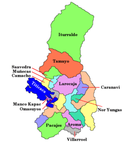
Bolivia, La Paz Department, Larecaja Province |
| Parent range | Andes |
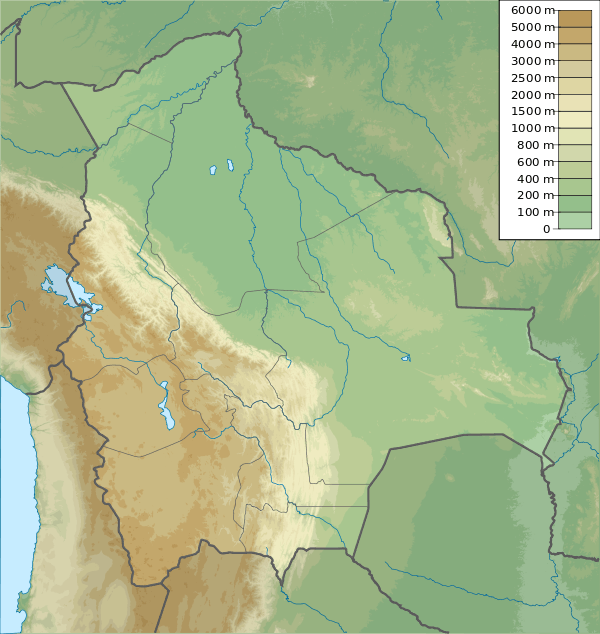
Wila Quta (Aymara wila blood, blood-red, quta lake,[2][3] "red lake", also spelled Huila Kkota) is a mountain in the Andes of Bolivia, about 4,960 metres (16,273 ft) high. It is situated in the La Paz Department, Larecaja Province, Sorata Municipality, north of the massif of Janq'u Uma and Illampu of the Cordillera Real. The river Janq'u Uma Jawira ("white water river", Anco Humu Jahuira) originates south of the mountain. It flows to the north-east.[1][4]
See also
References
- 1 2 Bolivian IGM map 1:50,000 Sorata 5846-I
- ↑ Radio San Gabriel, "Instituto Radiofonico de Promoción Aymara" (IRPA) 1993, Republicado por Instituto de las Lenguas y Literaturas Andinas-Amazónicas (ILLLA-A) 2011, Transcripción del Vocabulario de la Lengua Aymara, P. Ludovico Bertonio 1612 (Spanish-Aymara-Aymara-Spanish dictionary)
- ↑ "Diccionario Quechua - Aymara al español". katari.org. Retrieved November 6, 2014.
- ↑ "Sorata". INE, Bolivia. Retrieved November 6, 2014.
This article is issued from Wikipedia - version of the 12/7/2015. The text is available under the Creative Commons Attribution/Share Alike but additional terms may apply for the media files.