Taylors Bridge, Delaware
| Taylors Bridge, Delaware | |
|---|---|
| Unincorporated community | |
 Taylors Bridge  Taylors Bridge | |
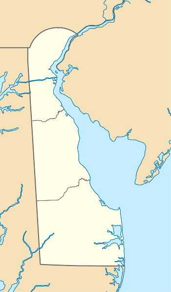
| Coordinates: 39°24′22″N 75°35′21″W / 39.40611°N 75.58917°WCoordinates: 39°24′22″N 75°35′21″W / 39.40611°N 75.58917°W | |
| Country | United States |
| State | Delaware |
| County | New Castle |
| Elevation | 10 ft (3 m) |
| Time zone | Eastern (EST) (UTC-5) |
| • Summer (DST) | EDT (UTC-4) |
| Area code(s) | 302 |
| GNIS feature ID | 214722[1] |
Taylors Bridge is an unincorporated community in New Castle County, Delaware, United States. Taylors Bridge is located on Delaware Route 9 7.4 miles (11.9 km) east-southeast of Middletown.[2]
References
- ↑ "Taylors Bridge". Geographic Names Information System. United States Geological Survey.
- ↑ Delaware Department of Transportation (2008). Delaware Official Transportation Map (PDF) (Map). Dover: Delaware Department of Transportation.

This article is issued from Wikipedia - version of the 7/31/2016. The text is available under the Creative Commons Attribution/Share Alike but additional terms may apply for the media files.